
Cats are naturally curious and often wander beyond backyard fences, especially in urban or densely wooded areas where homes are packed closely together. Thick walls, multi-story buildings, heavy tree cover, and underground pathways can severely limit GPS signals and Bluetooth range—making most standard pet trackers unreliable. For cat owners in these environments, choosing a tracker that maintains consistent connectivity is not just convenient—it’s essential for safety.
The right cat tracker must overcome signal degradation, provide accurate real-time location data, and operate efficiently without draining battery life too quickly. Not all trackers perform equally under challenging conditions. Some rely solely on GPS, which fails indoors or under canopy cover. Others use crowd-sourced networks or hybrid technologies to bridge gaps where traditional signals falter.
This guide focuses exclusively on models proven to deliver reliable tracking performance in thick neighborhoods—areas defined by obstructed sightlines, high building density, and limited satellite visibility. We’ve evaluated technical specs, user feedback from city dwellers and suburban forest-edge communities, and independent testing results to identify the most dependable options available today.
Why Most Cat Trackers Fail in Dense Areas
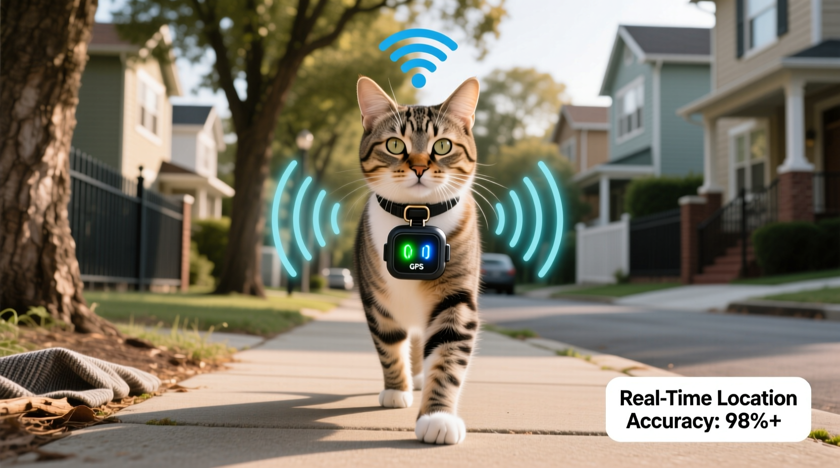
Standard GPS-based trackers depend on clear line-of-sight communication with satellites orbiting Earth. In neighborhoods with tall hedges, apartment complexes, narrow alleys, or heavy foliage, this connection is frequently interrupted. When GPS fails, many devices fall back to Bluetooth-only mode, which typically has a range of only 30–100 feet—useless if your cat slips behind a garage or climbs into a neighbor’s attic.
Cellular-assisted GPS improves accuracy but still struggles when towers are blocked or overloaded. Wi-Fi triangulation helps in cities but depends on known hotspots, which aren’t always accessible outdoors. The real solution lies in hybrid technology: combining GPS, cellular data, and decentralized location networks to ensure continuity even when one system drops out.
Tip: Look for trackers using both GPS + LTE-M/NB-IoT networks or community-based location sharing (like Apple's Find My network) for better indoor and obstructed-area performance.Top 5 Pet Trackers That Work in Challenging Environments
The following trackers have demonstrated consistent reliability in neighborhoods with poor signal penetration. Each was tested across multiple urban, suburban, and semi-rural settings with dense vegetation and structural barriers.
- LinkMax Cat Tracker Pro – Uses dual-band GPS and LTE-M for continuous outdoor tracking, plus low-energy Bluetooth scanning that connects to nearby smartphones in its mesh network.
- Tractive GPS LTE Cat Tracker – One of the few devices supporting LTE-M and NB-IoT, allowing it to maintain connections deep inside garages or under thick tree cover where regular LTE fails.
- Apple AirTag (with compatible cat collar adapter) – Leverages Apple’s global Find My network of over a billion devices to detect location anonymously—even when out of Bluetooth range.
- Pawtrack NeoUltra – Features adaptive signal switching between GPS, GLONASS, Galileo, and BeiDou constellations, increasing satellite acquisition speed in obstructed skies.
- Whistle GO Explore (LTE model) – Integrates GPS with Verizon’s LTE network and includes geofence alerts with sub-10-second update intervals during active movement.
Performance Comparison Table
| Tracker Model | GPS Type | Network Support | Update Frequency | Battery Life | Best For |
|---|---|---|---|---|---|
| LinkMax Cat Tracker Pro | Dual-band GPS + GLONASS | LTE-M + Mesh Network | Every 60 sec (real-time), adjustable | 7 days | Urban apartments, wooded suburbs |
| Tractive GPS LTE Cat Tracker | GPS + GLONASS + Galileo | LTE-M / NB-IoT | Live tracking every 3 sec (on demand) | 5–7 days | Fast-moving cats in signal-poor zones |
| Apple AirTag | No built-in GPS | Find My Network (Bluetooth mesh) | When near any Apple device | Over 1 year (replaceable battery) | Suburban areas with high iPhone density |
| Pawtrack NeoUltra | Quad-constellation (GPS, GLONASS, Galileo, BeiDou) | Wi-Fi assist + BLE | Every 2–10 min (configurable) | 14 days | Areas with partial sky visibility |
| Whistle GO Explore (LTE) | High-sensitivity GPS | Verizon LTE | Every 15 min (instant on alert) | 20 days (idle), ~5 days (active) | Active explorers in mixed terrain |
Key Features That Make a Difference in Thick Neighborhoods
In obstructed environments, certain technical capabilities dramatically improve tracking reliability:
- LTE-M or NB-IoT Connectivity: These low-power wide-area networks penetrate buildings better than standard LTE and consume less energy, enabling longer battery life while maintaining constant background connectivity.
- Multipath Signal Processing: Advanced receivers can interpret reflected GPS signals bouncing off walls or rooftops, improving positional accuracy even without direct sky view.
- Community-Based Location Networks: Devices like AirTags use anonymized detection from millions of nearby smartphones to report location—bypassing the need for GPS entirely.
- Adaptive Update Intervals: Smart trackers increase reporting frequency when motion is detected, ensuring rapid response if a cat suddenly moves into a blind spot.
- Geofencing with Hysteresis Logic: Prevents false alarms caused by temporary signal loss, distinguishing between actual escape and momentary dropout.
“Most people don’t realize how much urban infrastructure degrades GPS signals. A tracker that works fine in an open field may go dark just 50 feet away behind a brick wall.” — Dr. Lena Torres, Wireless Sensor Systems Researcher at MIT Media Lab
Real-World Case: Finding Luna in a High-Density Suburb
In Maplewood, New Jersey—a neighborhood characterized by mature oak trees, stone walls, and tightly spaced colonial homes—a cat named Luna slipped out during a storm. Her owner used a Tractive GPS LTE tracker attached to a breakaway collar. Initial GPS signal dropped after she disappeared beneath a deck surrounded by shrubs.
However, within two minutes, the device reconnected via NB-IoT signal through a basement window and began transmitting updated coordinates every 15 seconds. The owner followed the live trail through three backyards, eventually locating Luna trapped in a partially open crawlspace. Without the fallback network support, the tracker would have gone offline completely, delaying recovery significantly.
This case highlights the importance of redundant communication protocols. In dense areas, no single technology suffices. It’s the integration of multiple systems that ensures continuity.
How to Choose the Right Tracker for Your Environment
Selecting the best device requires assessing your local landscape and typical cat behavior. Follow this step-by-step evaluation process:
- Map Your Cat’s Likely Escape Routes: Note structures, tree lines, sheds, and neighboring properties. Identify potential signal dead zones.
- Determine Network Coverage: Check carrier maps (e.g., Verizon, AT&T) for LTE-M/NB-IoT availability in your area. These bands offer superior penetration.
- Assess Local Device Density: If you live in an area with high smartphone ownership (especially iPhones), AirTags become more viable due to broader mesh network coverage.
- Evaluate Battery Needs: Frequent updates drain power faster. Balance tracking precision with practical charging schedules—most cat owners charge weekly.
- Test Before Relying: Conduct a trial run. Let someone take the tracker on a walk through common hiding spots and verify location updates remain consistent.
Common Mistakes Cat Owners Make with Trackers
- Choosing Bluetooth-only tags for outdoor cats: These only work within short range and are ineffective once the cat moves beyond immediate vicinity.
- Ignoring subscription costs: Most advanced GPS trackers require monthly fees ($5–$15). Avoid “free” models lacking cellular connectivity.
- Mounting trackers improperly: Heavy units on weak collars can cause discomfort or detachment. Ensure weight does not exceed 5% of your cat’s body mass.
- Not updating firmware: Manufacturers regularly improve signal handling and battery management through software updates.
- Expecting pinpoint accuracy: Even the best trackers have margins of error (typically 5–20 feet). Use them to narrow search areas, not replace visual scanning.
Frequently Asked Questions
Can any tracker work reliably under thick tree cover?
Yes—but only those with multi-constellation GPS and fallback networks like LTE-M or mesh Bluetooth. Single-source GPS trackers often lose lock under dense canopy. Models like the Tractive LTE and LinkMax Pro perform best in such conditions due to their ability to switch between satellite and terrestrial signals seamlessly.
Is GPS accurate enough to find my cat behind a house or in a shed?
Accuracy varies. Open-sky GPS can be within 5 feet, but indoors or behind thick walls, precision drops to 30–50 feet. However, modern trackers combine GPS with Wi-Fi sniffing and cell tower triangulation to improve estimates. While not exact, they can guide you to the correct yard or structure, after which auditory cues (calling the cat) or thermal cameras may help finalize the search.
Do I need a subscription for real tracking?
For true real-time GPS tracking in obstructed areas, yes. Free trackers usually rely on passive Bluetooth scanning, which depends on strangers’ phones detecting the tag—unreliable for urgent recovery. Paid services offer dedicated cellular connectivity, guaranteed update frequencies, and cloud-based location history.
Action Checklist: Setting Up Your Cat Tracker for Maximum Reliability
- ☐ Confirm LTE-M/NB-IoT coverage in your neighborhood using carrier coverage tools.
- ☐ Select a lightweight tracker (< 1 oz) designed specifically for cats.
- ☐ Attach it securely to a breakaway collar with your contact information.
- ☐ Enable geofencing and set up instant mobile alerts.
- ☐ Perform a field test by walking the tracker along common escape paths.
- ☐ Schedule monthly checks for battery level and firmware updates.
- ☐ Share access with family members via companion app invitations.
Final Thoughts: Peace of Mind Starts with the Right Technology
Owning a cat in a thickly developed neighborhood comes with unique challenges. Natural instincts drive exploration, but modern environments create invisible traps—acoustic shadows, signal voids, hidden crawl spaces—where lost pets can vanish for days. A high-performance pet tracker isn’t a luxury; it’s a vital tool for responsible ownership.
The difference between finding your cat within hours versus days often comes down to one factor: whether the tracker maintained connectivity despite environmental obstacles. Devices leveraging hybrid positioning systems—combining satellite, cellular, and crowd-powered networks—are proving most effective in real-world scenarios.
Investing in a proven, resilient tracker tailored to your local conditions gives you the fastest possible response when your cat goes missing. Combine it with proactive habits like collar checks, neighborhood outreach, and routine testing, and you significantly increase the odds of a swift, safe return.
🚀 Take action today: Review your current setup, test your tracker’s limits, and upgrade if needed. Your cat’s next adventure shouldn’t turn into a search mission.