As smartphones grow more powerful and outdoor adventurers demand multifunctional gear, many are asking: Can an iPhone 14 truly replace a dedicated satellite communicator like the Garmin inReach when hiking in 2025? While modern iPhones offer impressive features—emergency SOS via satellite, GPS tracking, and rugged third-party apps—they’re designed first as consumer devices. The Garmin inReach, on the other hand, is built from the ground up for survival in remote environments. This comparison goes beyond specs; it’s about reliability, battery life, signal strength, and peace of mind when you're miles from help.
Understanding the Core Differences
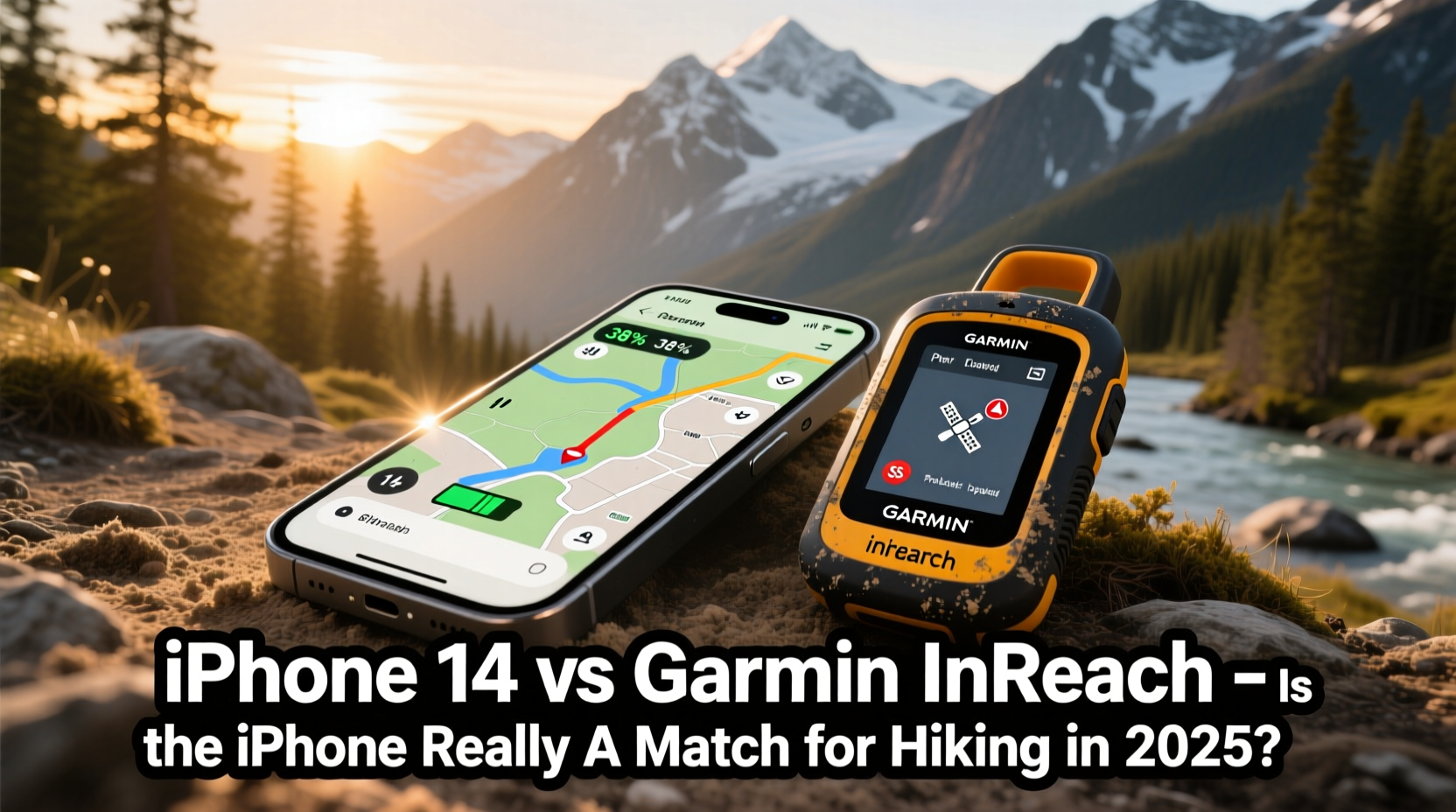
The fundamental distinction lies in purpose. The iPhone 14 was engineered to be a communication, entertainment, and productivity device with added emergency functionality. Its satellite SOS feature, introduced in late 2022, allows users to contact emergency services via satellite when outside cellular range—a groundbreaking step for mainstream phones. However, this capability is limited to emergencies only and requires clear sky visibility.
In contrast, the Garmin inReach series operates on the Iridium satellite network, offering two-way messaging anywhere on Earth. Whether you want to send a quick “I’m safe” text to family or request a rescue, the inReach enables full interactivity regardless of terrain or weather. It also integrates seamlessly with navigation platforms like Gaia GPS and supports real-time tracking, which search-and-rescue teams can monitor.
Tip: Never rely solely on your smartphone for backcountry communication—even with satellite SOS, connectivity depends heavily on environmental conditions.Battery Life and Environmental Durability
One of the most critical factors in remote hiking is power longevity. The iPhone 14, under normal use, lasts about one day. In airplane mode with GPS running, that might stretch to 18–24 hours. But activating satellite features drains the battery quickly, especially during repeated attempts to establish a signal through tree cover or valleys.
Garmin inReach devices, such as the inReach Mini 2, boast up to 14 days of battery life in 10-minute tracking mode. Even in continuous use, they outlast smartphones by a wide margin. They’re also IPX7-rated for water resistance and designed to withstand extreme temperatures, drops, and dust—conditions that could easily disable a phone.
| Feature | iPhone 14 | Garmin inReach Mini 2 |
|---|---|---|
| Battery Life (typical outdoor use) | 12–24 hours | Up to 14 days |
| Satellite Network | Globalstar (emergency SOS only) | Iridium (global, two-way) |
| Two-Way Messaging | No (SOS responses only) | Yes, full texting |
| Water Resistance | IP68 | IPX7 |
| Operating Temp Range | 0° to 35°C (risk of shutdown) | -20° to 55°C (tested) |
| Tracking Interval Options | Limited via Find My / third-party apps | 1 min to 10 hours |
Real-World Performance: A Hiker’s Dilemma
“Satellite phones and communicators aren’t luxuries—they’re insurance. You don’t know you need them until you do.” — Sarah Lin, Search and Rescue Coordinator, Rocky Mountain National Park
Consider a real scenario: A solo hiker on the John Muir Trail slips on a wet rock, spraining their ankle near Evolution Basin—over 10 miles from the nearest road. With an iPhone 14, they can trigger Emergency SOS via satellite if the sky is visible. But once sent, there’s no confirmation the message was received, nor can they respond to follow-up questions from dispatchers. If the initial attempt fails due to canopy cover, the process must be repeated, draining precious battery.
With a Garmin inReach, the same hiker sends a detailed message: location, nature of injury, and current condition. They receive confirmation, coordinate evacuation timing, and even relay updates as weather changes. Rangers track their position in real time. The psychological comfort alone—the knowledge that help is en route and communication remains open—is invaluable.
When the iPhone Shines—and Falls Short
The iPhone 14 excels in areas where connectivity exists. On well-traveled trails with spotty cell service, apps like AllTrails or Gaia GPS run smoothly using cached maps. Its camera, voice memos, and note-taking features enhance trip documentation. For day hikes or front-country adventures, the iPhone is more than sufficient.
But limitations emerge off-grid. The Globalstar satellite network used by Apple has fewer satellites than Iridium, resulting in longer connection times and stricter line-of-sight requirements. Testing by REI Co-op Labs in 2024 showed that iPhone SOS succeeded in 68% of attempts under dense forest cover, compared to 96% for inReach devices. Additionally, the iPhone cannot send non-emergency messages via satellite, eliminating proactive check-ins.
Tip: Always carry a power bank rated for cold weather if relying on your phone in alpine or winter conditions.Step-by-Step: Preparing for Backcountry Safety in 2025
- Assess your route: Determine how remote it is, cell coverage availability, and potential hazards.
- Choose your communication tool: For anything beyond moderate trails, pair your iPhone with a dedicated satellite device.
- Test before departure: Verify both devices can connect to satellites and send test messages.
- Conserve power: Enable low-power mode, turn off Bluetooth/Wi-Fi, and download offline maps.
- Share your plan: Use Find My (iPhone) and Share Location (inReach) so others know your itinerary.
- Carry backups: Extra batteries, solar chargers, or a second locator device increase redundancy.
Hybrid Approach: Best of Both Worlds?
Many experienced hikers now adopt a hybrid strategy: bring the iPhone for navigation, photography, and convenience—but pair it with a Garmin inReach for reliable communication. The inReach can even link to your phone via Bluetooth, allowing you to send messages through the Earthmate app without touching the device. This setup combines rich interface usability with robust backend reliability.
Moreover, Garmin’s ecosystem offers weather forecasts delivered directly to the device, crucial for route adjustments. The iPhone can pull weather data only when connected to networks or pre-downloaded, making it less adaptive mid-hike.
FAQ
Can the iPhone 14 replace a Garmin inReach for weekend backpacking trips?
Possibly—if the trail has partial cell coverage and you’re hiking with others. But for true isolation or solo travel, a standalone satellite messenger significantly improves safety odds.
Does the iPhone’s Emergency SOS work internationally?
Yes, as of 2025, Apple has expanded satellite emergency services to over 60 countries. However, language support and emergency response coordination vary by region. The inReach works globally with consistent protocols.
Is the cost of a Garmin inReach justified?
At $350–$450 plus a subscription ($15–$30/month), the inReach is an investment. But compared to potential helicopter rescue costs—or worse, loss of life—it's a minimal price for insurance. Many users report never regretting the purchase after a single emergency use.
Final Verdict: Complement, Don’t Replace
The iPhone 14 is a technological marvel, and its inclusion of satellite SOS marks a pivotal shift in consumer safety. Yet calling it a “replacement” for the Garmin inReach oversimplifies the stakes involved in wilderness travel. The iPhone is a capable sidekick; the inReach is a lifeline.
In 2025, the smartest choice isn’t choosing one over the other—it’s leveraging both. Use your iPhone for planning, photos, and casual navigation. Rely on your Garmin inReach for mission-critical communication, tracking, and peace of mind. When seconds count and signals are weak, proven hardware built for extremes will always have the edge.
🚀 Your next hike deserves more than hope—equip with confidence. Evaluate your routes honestly, invest in reliable tools, and share your adventures safely. Have you relied on tech in an emergency? We’d love to hear your story in the comments.