Navigating through remote wilderness or dense forest trails often means losing reliable GPS connectivity. Whether you're using a smartphone, dedicated GPS device, or smartwatch, weak signals can lead to disorientation, delays, or even dangerous situations. Unlike urban environments where cell towers and Wi-Fi assist location tracking, backcountry terrain lacks infrastructure, and natural obstacles like tree cover, canyons, and mountains further degrade satellite reception. However, with the right strategies and tools, it’s possible to significantly improve GPS performance—even in the most isolated regions.
Understanding how GPS works is the first step toward optimizing it. The Global Positioning System relies on signals from at least four satellites orbiting Earth. When your device receives these signals, it calculates position based on timing differences. But when signals are blocked or weakened by environmental interference, accuracy drops. This guide covers practical, field-tested methods to strengthen GPS signal acquisition and maintain consistent tracking during outdoor adventures.
Understand Environmental Factors That Weaken GPS
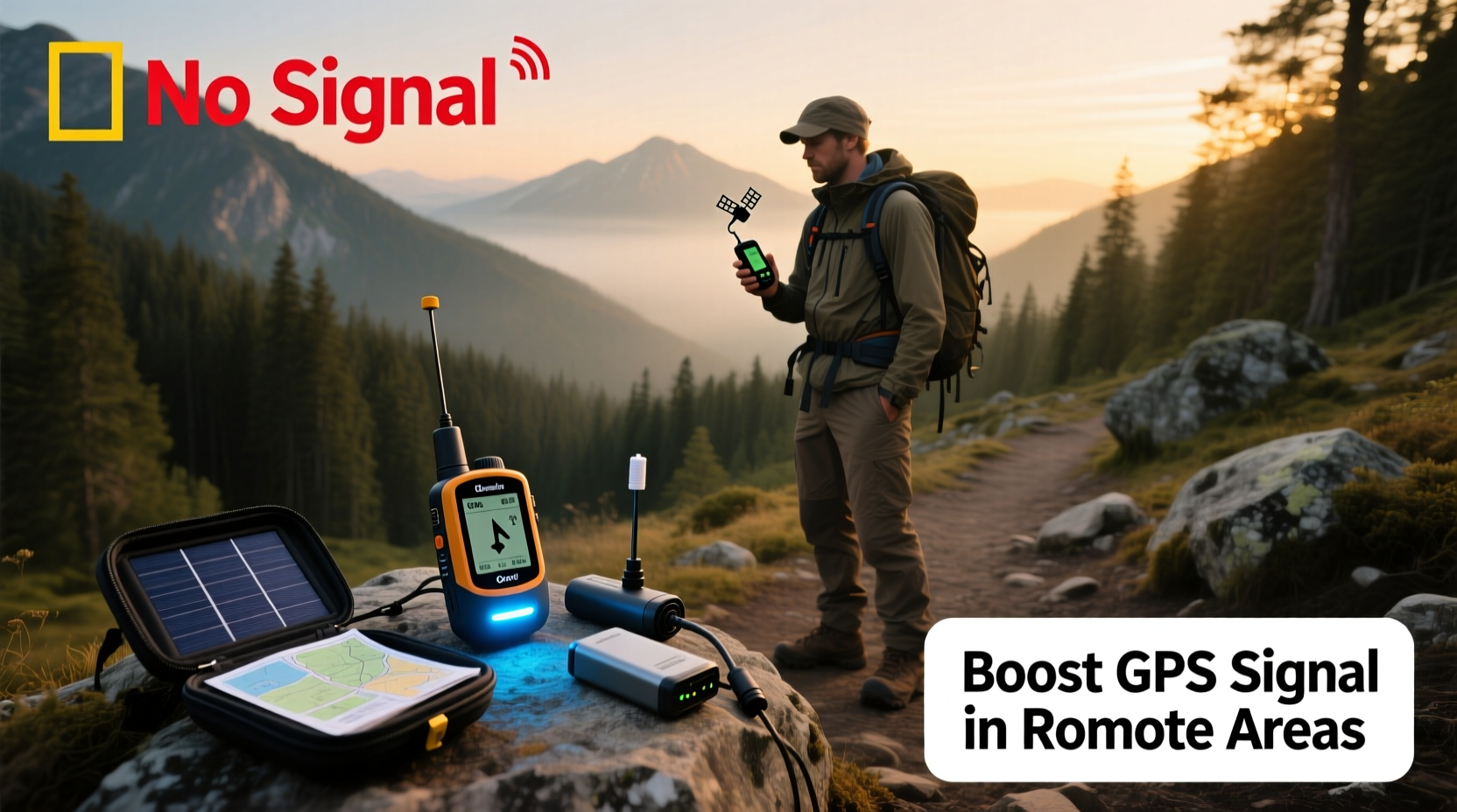
The strength of a GPS signal depends heavily on line-of-sight access to satellites. Obstructions such as thick canopy cover, deep valleys, steep ridgelines, and rock overhangs can block or reflect satellite signals, leading to poor accuracy or complete loss of fix. Even weather conditions—like heavy cloud cover or thunderstorms—can slightly delay signal transmission.
Dense coniferous forests, common in alpine and northern regions, are particularly problematic due to their high moisture content and layered foliage, which absorb and scatter radio waves. Similarly, slot canyons and gorges create “urban canyon” effects similar to city skyscrapers, bouncing signals unpredictably and confusing receivers.
Tip: Open clearings, ridge lines, and elevated points offer the best GPS signal reception. Plan periodic checks in these zones.Electronic interference from power lines, radios, or poorly shielded equipment may also contribute to degraded performance, though this is less common in remote settings. Recognizing these limitations allows hikers to anticipate issues and take corrective action before becoming lost or stranded.
Optimize Your Device Settings for Maximum Signal Acquisition
Most GPS devices come with default settings optimized for general use, not extreme outdoor conditions. Adjusting key configurations can dramatically improve signal lock speed and reliability.
Enable all available satellite systems—not just GPS (U.S.), but also GLONASS (Russia), Galileo (EU), and BeiDou (China). Modern receivers that support multi-constellation tracking can access up to 120+ satellites globally, increasing the chances of acquiring a strong fix even under partial obstruction.
On smartphones, ensure Location Services are set to “High Accuracy” mode, which uses GPS, Wi-Fi scanning, and Bluetooth beacons to triangulate position. While Wi-Fi won’t help in true wilderness, enabling this mode ensures the phone prioritizes satellite data aggressively when no networks are present.
Battery-saving modes often throttle GPS usage to conserve power. Avoid these during critical navigation segments. Instead, carry external power banks or solar chargers to sustain full functionality.
“Multi-GNSS support can reduce time-to-first-fix by up to 75% in forested areas compared to GPS-only devices.” — Dr. Alan Reeves, Geospatial Systems Engineer, University of Colorado Boulder
Step-by-Step: Pre-Hike GPS Optimization Checklist
- Update firmware on GPS devices and smartphones.
- Enable all satellite constellations (GPS + GLONASS + Galileo + BeiDou).
- Turn off battery saver or low-power modes.
- Download offline maps and waypoints before departure.
- Perform a cold start reset: Power off, wait 30 seconds, then restart outdoors with clear sky view.
- Calibrate compass and accelerometer if applicable.
Leverage External Hardware and Signal Boosters
While built-in antennas work well in open areas, they struggle under canopy or in rugged terrain. Fortunately, several accessories can enhance signal capture without requiring constant cellular connectivity.
External GPS antennas are compact, portable units that connect via Bluetooth or USB to smartphones or tablets. These typically feature larger, high-gain antennas designed to pull in weaker signals. Some models, like the Dual XGPS160 or Garmin GLO 2, offer sub-meter accuracy and faster satellite acquisition.
Signal amplifiers—though rare in consumer markets—are used in specialized applications. They require an external power source and must comply with FCC regulations, so they’re not widely recommended for casual hikers. However, passive solutions like metal reflector plates or Faraday-friendly mounts can sometimes improve antenna efficiency by reducing ground interference.
Another effective tool is a GPS logger. Devices like the QStarz BT-Q1000XT record raw satellite data at high frequency, allowing post-processing analysis for precise route reconstruction—even if real-time tracking was spotty.
| Device Type | Signal Improvement | Best Use Case | Limitations |
|---|---|---|---|
| Smartphone (built-in) | Moderate (with multi-GNSS) | Day hikes, trail navigation | Poor battery life; small antenna |
| Dedicated GPS unit | High (e.g., Garmin GPSMAP series) | Backpacking, long expeditions | Higher cost; bulkier |
| External GPS receiver | Very High (Bluetooth-connected) | Forests, deep valleys | Requires pairing; extra gear |
| GPS watch (e.g., Suunto, Coros) | Low-Moderate | Fitness tracking, light trails | Smaller battery; limited storage |
Strategic Navigation Techniques to Compensate for Weak Signals
No technology replaces sound navigation skills. When GPS fails, knowing how to proceed safely is essential. Integrating traditional methods with digital tools creates a resilient system.
Always carry a topographic map and compass—and know how to use them. Before heading out, mark key waypoints (trailheads, junctions, water sources) on both paper and digital formats. If GPS drops, you can estimate your location using terrain association: matching visible landscape features (ridges, rivers, peaks) to the map.
Use \"aim-off\" navigation when approaching narrow targets like mountain passes or river crossings. Intentionally navigate slightly to one side of the destination, then follow a linear feature (such as a stream or ridge) into it. This avoids uncertainty when arriving perpendicular to a target.
Periodically stop in open areas to reacquire satellite lock. Even 60 seconds in a meadow or on a rocky outcrop can refresh your position and synchronize stored tracks. Mark these resync points manually if needed.
Mini Case Study: Lost Signal in the Sierra Nevada
In July 2023, a solo hiker traversing the John Muir Trail between Evolution Basin and Muir Pass experienced complete GPS failure due to continuous pine canopy and valley depth. His smartphone app showed erratic jumps between locations, and his smartwatch failed to log continuously.
He paused every 45 minutes at minor ridgelines to let his Garmin eTrex regain satellite contact. He cross-referenced each successful fix with his USGS topo map and noted elevation changes via altimeter. By combining intermittent GPS data with compass bearings and creek-following tactics, he stayed on course despite eight hours of unreliable signals.
Post-hike analysis revealed his device had only maintained a 30% signal lock, yet strategic resyncing prevented major deviation. This case underscores the value of hybrid navigation in GPS-challenged zones.
Plan Ahead: Offline Maps, Waypoints, and Redundancy
Preparation is the strongest defense against GPS failure. Relying solely on real-time signal strength is risky. Instead, build redundancy into your navigation plan.
- Download offline maps: Apps like Gaia GPS, CalTopo, or OsmAnd allow downloading detailed topographic, satellite, and trail maps for use without internet.
- Save critical waypoints: Mark campsites, emergency exits, water sources, and junctions in advance. Assign memorable names and icons.
- Create track logs: Import pre-planned routes as GPX files to avoid reliance on live routing algorithms.
- Carry backup devices: A secondary GPS unit or a friend’s phone with shared coordinates provides failover capability.
Cloud-based synchronization services (like Garmin Connect or AllTrails+) should never be your only source of route data. Always export and store copies locally on-device or on a microSD card.
Navigation Readiness Checklist
- ✅ Download offline maps for entire route
- ✅ Save at least 5 key waypoints (start, end, water, shelter, exit)
- ✅ Export GPX/KML file as backup
- ✅ Charge all devices fully; pack spare battery or solar charger
- ✅ Test GPS acquisition in open area before departure
- ✅ Inform someone of your itinerary and expected return time
Frequently Asked Questions
Can I improve GPS signal with a DIY antenna?
While some hobbyists have created makeshift reflectors using aluminum foil or mesh, results are inconsistent and often cause more interference than gain. Commercially tested external antennas are far more reliable and worth the investment for serious backcountry travelers.
Why does my GPS work fine at home but fail on the trail?
Urban environments benefit from Assisted GPS (A-GPS), which uses cell towers and Wi-Fi networks to speed up satellite locking. In remote areas, this assistance disappears, forcing your device to rely solely on slower cold starts. Pre-loading satellite almanac data helps mitigate this issue.
Does airplane mode affect GPS performance?
Generally, no. GPS operates independently of cellular networks. However, turning off cellular and Wi-Fi radios in airplane mode reduces battery drain and electromagnetic noise, potentially improving GPS stability. Just ensure location services remain enabled.
Conclusion: Stay Found, Stay Safe
Weak GPS signals in remote areas don’t have to compromise your safety or adventure. By understanding the limitations of satellite navigation, optimizing your gear, and integrating time-tested outdoor skills, you can maintain reliable orientation across even the most challenging landscapes. Technology enhances exploration—but preparation and awareness keep you on course when signals fade.
💬 Have a story about overcoming GPS failure in the wild? Share your experience below to help fellow hikers stay safe and connected.